Indexes scientific literature in the geosciences, including geology and earth science research publications.
Collection of full-text journals and books in the geological sciences. Includes GeoRef, a geosciences bibliographic database and OpenGeoSci a free, public map-based toolset that allows users to search for cross sections, tables, figures, and data from GeoScienceWorld publications.
 Tracks, trails, and thieves : the adventures, discoveries, and historical significance of Ferdinand V. Hayden's 1868 geological survey of Wyoming and adjacent territories
by
"Detailed recounting of the first government-sponsored geological survey of the Wyoming and adjacent territories in 1868. The results of Hayden's survey provided the earliest descriptive stratigraphic-structural profile across the Rocky Mountains and the initial discovery of dinosaur tracks in western North America"--
 The Rocks of Great Smoky Mountains National Park
by
A full color guide to the rocks of Great Smoky Mountains National Park, including how they formed, what they look like and where to find them
 3-D aerial transparencies, erosional forces set
Images illustrating erosion caused by water, wind, glaciers and gravity.
 3-D aerial transparencies, structural geology set
Images of a structural dome, cinder cone, grabens, and an impact crater.
 Meeting challenges with geologic maps
by
Geologic maps are our most important and complete compilation of information about the solid Earth we live on, and we cannot understand the Earth without them. Meeting Challenges with Geologic Maps presents 16 examples that show how geologic maps are helping to delineate fragile habitat and ecosystems, protect against natural hazards (earthquakes, volcanic eruptions, landslides and sinkholes), and find needed resources (groundwater, metals, coal, and sand and gravel).
 Subsidence and Sinkholes in East Tennessee : a Field Guide to Holes in the Ground
by
9 p., 15 figures, by Martin S. Kohl (1999) (Second Edition 2001). Describes various types of earth subsidence and karst-related features that
commonly occur in East Tennessee
 Aerial Stereograms : an introduction to geology, geography, conservation, forestry, and surveying using stereo photographs
by
The 92 stereo photographs of prominent landmarks around the country—Mt. Rainier in WA, Grand Teton in WY, Monument Valley in AZ—were taken using aerial photography. Use the book to study landforms, rock structures, vegetation, soils, wind action, stream erosion, volcanic features, effect of glaciation and more, including many cultural features. Each picture has a description of the region, and the prominent features are keyed to the index grid system. Stereoscope glasses (listed separately as AP5264) are needed to view the images in three dimensions. 92 pages, 8½" × 11", spiral-bound.
 Guidebook for Field Trip Excursions, Geological Society of America. Southeastern Section. Meeting 1995 : Knoxville, Tenn.
by
Field trips prepared for the 44th annual meeting of the Southeastern Section of the Geological Society of America, Knoxville, TN, April 1995
 On Station: a Complete Handbook for Surveying and Mapping Caves
by
On Station, gives updated information on everything a cave surveyor needs to know about surveying and mapping caves. It includes everything from gathering complete, accurate information to preparing a precise and attractive map for publication. Written by one of the acknowledged leaders in cave surveying, it provides a systematic approach, beginning with the compass and notebook and carrying through to the printed map. The text is supported by many diagrams and cave maps in various stages to show how a map develops from sketch to final version. The book includes selection and use of the latest surveying equipment-plus the techniques and practical skills that can help you learn this valuable speleological discipline.
 Interpretation of Geological Structures Through Maps : an introductory practical manual
by
In the same way that topographic, road, and rail maps provide us with information concerning the nature of the land surface and the location of man-made features. Geological maps contain data which allows an understanding of the distribution of rocks that make up the crust of the Earth and the orientation of structures they contain. Unlike ordinary maps however, geological maps include information which allows us to assess not only the location of particular rocks and the areas they cover, but also their underground extent and their geological history.
 Caves of Tennessee
by
This publication of the Tennessee Division of Geology catalogs 682 caves by county, With text descriptions and locations. There are 150 illustrations, either caves maps or photographs, and 58 pages of introductory text on geology and biology. Folded state cave-distribution map in back pocket.
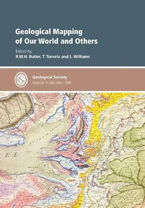
 Geological Mapping of Our World and Others
by
From planetary surfaces to crystals and their boundaries, maps are fundamental tools for developing geological knowledge. This book spans not only these scales but also the history of earth science-exploring techniques and applications. It celebrates geological mapping in developing knowledge of Earth and planetary evolution and processes.
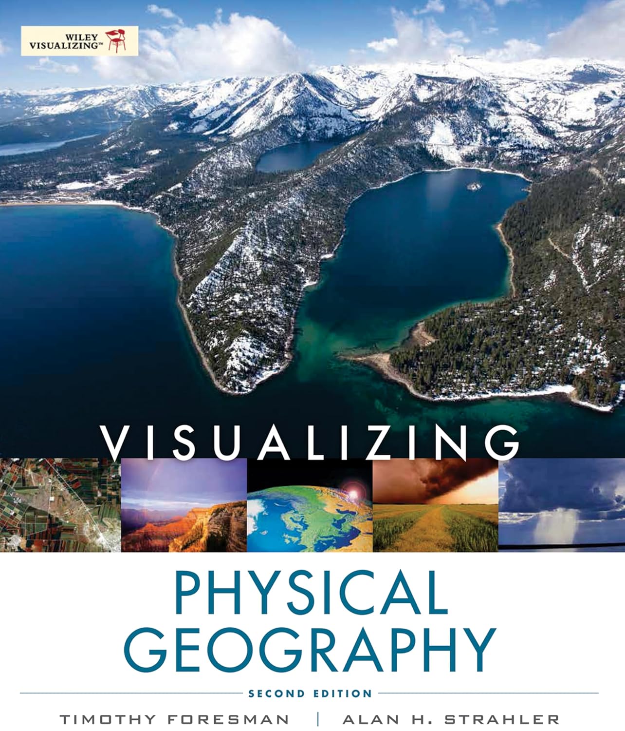
 Visualising Physical Geography: the How and Why of Using Diagrams to Teach Geography 11-16
by
* Drawing diagrams is an integral part of teaching geography - this book offers clear guidance on how to do this effectively. * Breaks down the complex and broad field of physical geography by showing how diagrams can be used to explain and clarify the concepts behind many of the proceses and landforms * Features over 100 diagrams covering the key topics taught in KS3 & 4. * Shows Geography teachers how they can convey age-appropriate ideas without overwhelming or over-simplifying * Each diagram is accompanied by a summary of key concepts, background context, common misconceptions, questions to check understanding, and extension activities.
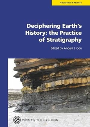
 Deciphering Earth's history : the practice of stratigraphy
by
Geology without stratigraphy would be like life without a clock. 'Deciphering Earth's History' provides a practical, pragmatic and integrated guide to applying stratigraphical techniques. It covers how to systematically divide and correlate strata, determine rates and durations of Earth processes and construct geological timescales. Each technique is illustrated by worked examples.
 Glossary of Geology
by
Contains nearly 40,000 entries, including 3,600 new terms and nearly 13,000 entries with revised definitions from the previous edition. The revisions represent both advances in scientific thought and changes in usage and they make this 800+ page hardbound a must for any earth science professional or student. In addition to definitions, many entries include background information and aids to syllabication. The Glossary draws its authority from the expertise of the more than 100 geoscientists in many specialties who reviewed definitions and added new terms.
 Selection of Colors and Patterns for Geologic Maps of the U.S. Geological Survey
by
U.S. Geological Survey (USGS) color and pattern standards and conventions for geologic maps have evolved since the USGS published its first set of standards in 1881. Since that time, USGS personnel have continuously updated and revised the standards in response to the need to show increasingly complex geologic map data and in response to changing technology. The color and pattern standards and conventions contained in this book enable geologists, cartographers, and editors to produce geologic maps that have consistent geologic-age color schemes and patterns. Such consistency enables geologists and other users of geologic maps to obtain a wealth of geologic information at a glance and to produce maps that can easily be used and compared to other published maps that follow the color and pattern standards and conventions.
 This Dynamic Earth : the story of plate tectonics
by
Plate tectonics is a relatively new scientific concept, introduced some 30 years ago, but it has revolutionized our understanding of the dynamic planet upon which we live. The theory has unified the study of the Earth by drawing together many branches of the earth sciences, from paleontology (the study of fossils) to seismology (the study of earthquakes). It has provided explanations to questions that scientists had speculated upon for centuries -- such as why earthquakes and volcanic eruptions occur in very specific areas around the world, and how and why great mountain ranges like the Alps and Himalayas formed. Cover: View of the planet Earth from the Apollo spacecraft. The Red Sea, which separates Saudi Arabia from the continent of Africa, is clearly visible at the top.
 Geology of Caves
by
A cave is a natural opening in the ground extending beyond the zone of light and large enough to permit the entry of man. Occurring in a wide variety of rock types and caused by widely differing geological processes, caves range in size from single small rooms to intercorinecting passages many miles long. The scientific study of caves is called speleology (from the Greek words spelaion for cave and logos for study). It is a composite science based on geology, hydrology, biology, and archaeology, and thus holds special interest for earth scientists of the U.S. Geological Survey.
 John Wesley Powell's Exploration of the Colorado River
by
On May 24, 1869, Major John Wesley Powell, a 35-year-old professor of natural history, and nine adventurers set out from Green River Station, Wyoming Territory, to explore the Colorado River and its canyons. Only six of the explorers exited at the mouth of the Grand Canyon 3 months and 6 days later. One left the expedition after 6 weeks, and three were killed by Indians after leaving the party only 2 days before it emerged from the Grand Canyon.
 The Colorado River Region and John Wesley Powell
by
A century ago John Wesley Powell-teacher, scientist, and veteran of the Civil War-set out to explore the unknown reaches of the Colorado River. He emerged from the forbidding canyons with a compelling interest in the nature of the western lands and how they could be developed for the greatest benefit to the Nation. A man gifted with imagination, yet always tempered by the scientist's appreciation for facts, Powell became one of the country's most vigorous proponents for the orderly development of the public domain and the wise use of its natural resources.
Throughout his lifetime, Powell stood firm in his belief that science, as a sound basis for human progress, should serve all the people, and he played an important role in organizing and directing scientific activities of the U.S. Government. His zeal led to the establishment of the Geological Survey in the U.S. Department of the Interior and the Bureau of Ethnology in the Smithsonian Institution.
On this 100th Anniversary of the Powell Colorado River Expedition, the U.S. Department of the Interior, Smithsonian Institution, and National Geographic Society (which Powell helped to found) have joined many organizations and individuals to recall the works of this man ;and to examine anew the imprints of his mind. His prescient concepts for the Nation's programs concerning people and their environment have been enhanced through a century of national development.
 Marble Deposits of East Tennessee
by